About The Project
Have you ever wanted to explore a bike path or trail, but wondered what it's like? Is it pavement, gravel, or dirt? Is it hilly or flat? After over a year of research and planning, we're thrilled to introduce you to our project!
Google Street View, once limited to streets, has now opened up to the public,
encompassing not just streets but also sidewalks, parks, bike paths, trails, and more!
However, we've noticed that many paths and trails are incomplete in the imagery, and in some cases, the images are outdated by many years (2009!!). With the ever-changing landscape of our town, it's crucial to keep this information current.
Our project focuses on capturing the local Centre Region bike infrastructure and park facilities to enhance Google's information in our area. By doing so, we aim to provide accurate and up-to-date data that will benefit both residents and visitors navigating our community.

Matthew Cox
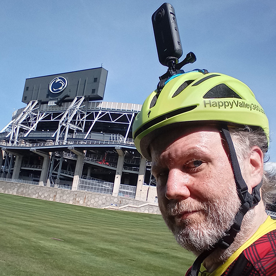
In the past six years, I've cycled over 16,801 miles of our local bicycle infrastructure! I enjoy bringing you, through what I see, at your fingertips. Now you can visit paths and trails without leaving home, but I hope you get out and visit these wonderful areas. If you are looking for a place to ride, visit CentreBike's Rides website for routes! Looking for maps? Check out Purple Lizard Maps for the best maps of the area!
Map Changes
-
Added Little Trail Loop to map
Added Featured page
Mini Maps are MAPS, not images
Sortable Mini Maps Page
Rides Route Support Added
38 Parks done!
Over to 200 miles!!
Up Next?
-
Homestead Park
Added to Mapillary
Easterly Pkwy Elementary
Circleville Park & Bike Path
Scotia -> Gatesburg
Little Trail Loop
Suburban Park
Coming Soon
- Rothrock & Musser Gap
- Penn State Campus (~80%)
- rides.centrebike.org routes
- Add Schools (off season)
- More Parks
- More Trails
- More Bike Paths